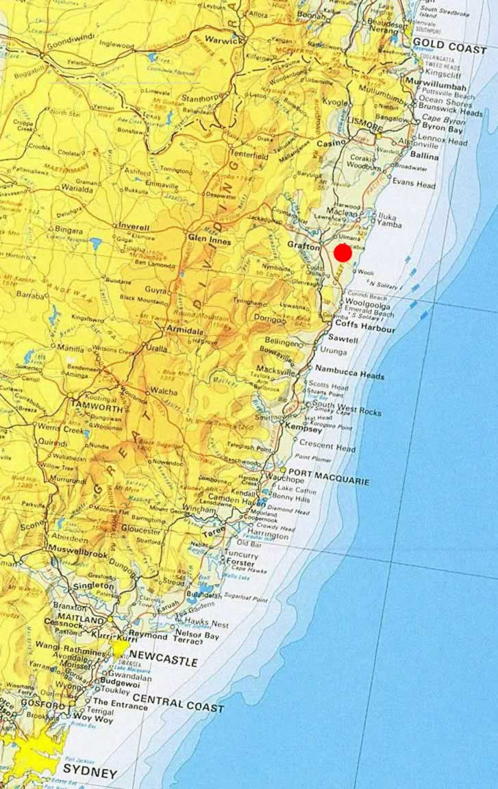
Pillar Valley is a small locality situated in Northern NSW, Australia.
|
| East Coast of NSW |
The Coast Range runs north-south, parallel to the coast and about 15 km inland, from West of Woolgoolga in the south through to West of Evans Head in the North. The range is dissected by the Clarence River around Tyndale and Ashby. The might Clarence River actually cuts through the range in two places, forming the massive Woodford Island in between. At high points along the range, peaks exceed 300 metres. The range separates the Clarence valley from the coastal heathlands that drain through four smaller rivers; the Red Rock, Wooli Wooli and Sandon Rivers to the South of the Clarence, and the Esk River to the North, which drains into the Clarence close to its mouth at Iluka.

|
| Road map of Pillar Valley and surrounds |